
deogyusan national park 덕유산 국립공원
hyangjeokbong 향적봉 1614 meters
16km return
📍trailhead
In early April of 2019 I set out to hike in Deogyusan National Park. I was hoping to do a loop or even a thru-hike, but it was during the annual trail closure season for the Korean National Parks (to prevent forest fires, and safety accidents from falling rocks as the earth starts thawing out). This left me with limited trail choices, but I was still able to make it to the peak.
My plan was to start at the trailhead then follow the super easy access road for 5.6km leading to Baengnyeonsa Temple. From here, I would have a 2.5km steep climb to get to the peak before returning, making it about 16 kilometers in total hiking out and back.
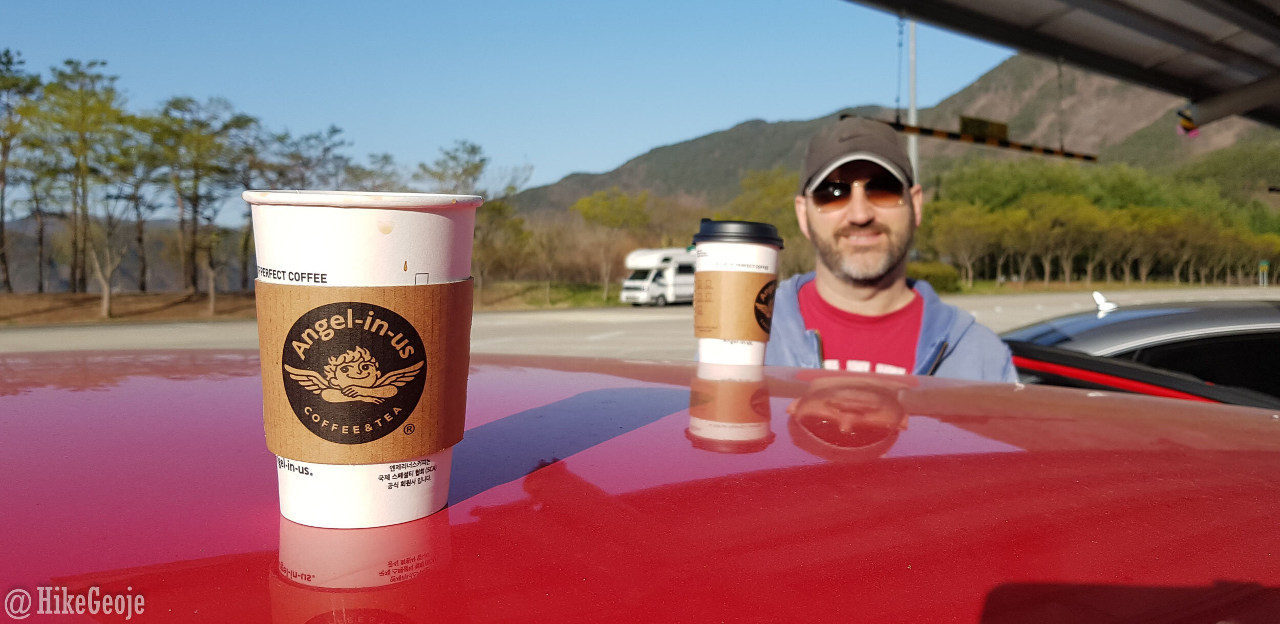
Andrew and I drove the 2.5 hours from Geoje to Muju before he dropped me off at the trailhead so he could head to our pension and work on his farming, aka “Stardew Valley”, for the rest of the day. (insert smirking eyeroll emoji here). In all seriousness, I was happy to hike on my own anyways. I don’t really enjoy hiking in groups and Andrew is a much faster hiker than I am, so it was nice to not have to try and keep up.
Rest stop hiking fuel.

Always got time for a trailhead selfie!
Starting out along the trail is quite lovely. There is a beautiful stream running along the trail with mini waterfalls along the way. I can only imagine how much nicer it would have been in summer or fall, rather than dreary winter when I went. You’ll cross back and forth placing the stream to your right and then to your left and back again a few times. After an easy, but long 5.6km you’ll finally reach Baengnyeonsa Temple. This is where the real hiking begins.

Baengnyeonsa Temple entrance.
Turning right and walking through the temple grounds will lead you to the beginning of the trail up the mountain. It’s only 2.5 kilometers to the peak, but it’s a tough 2.5 kilometers, especially after having already walked over 5 kilometers to get to this point.


The trail will have lots of stairs to help carry you up. There will be several spots to stop and rest along the way, both on benches and wooden platforms. Most of the trail up doesn’t really off a lot in the terms of views…that will have to wait for the peak!


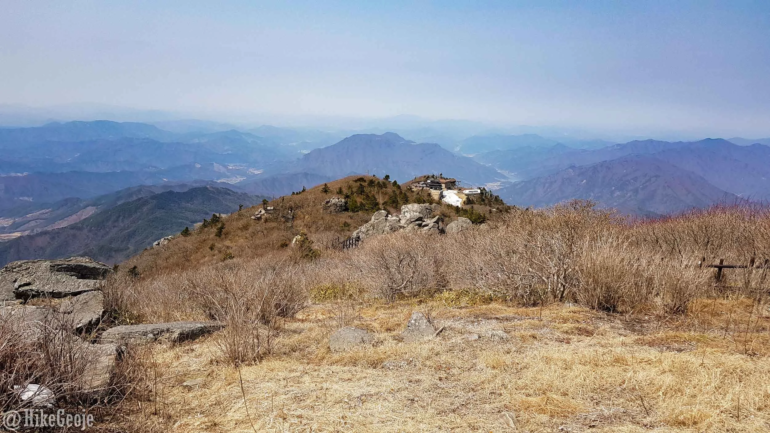
When you reach the peak you’ll likely be surprised by the amount of people up there as the trail itself isn’t that busy. This is because there is a cable car that takes you just a short walk to the peak.
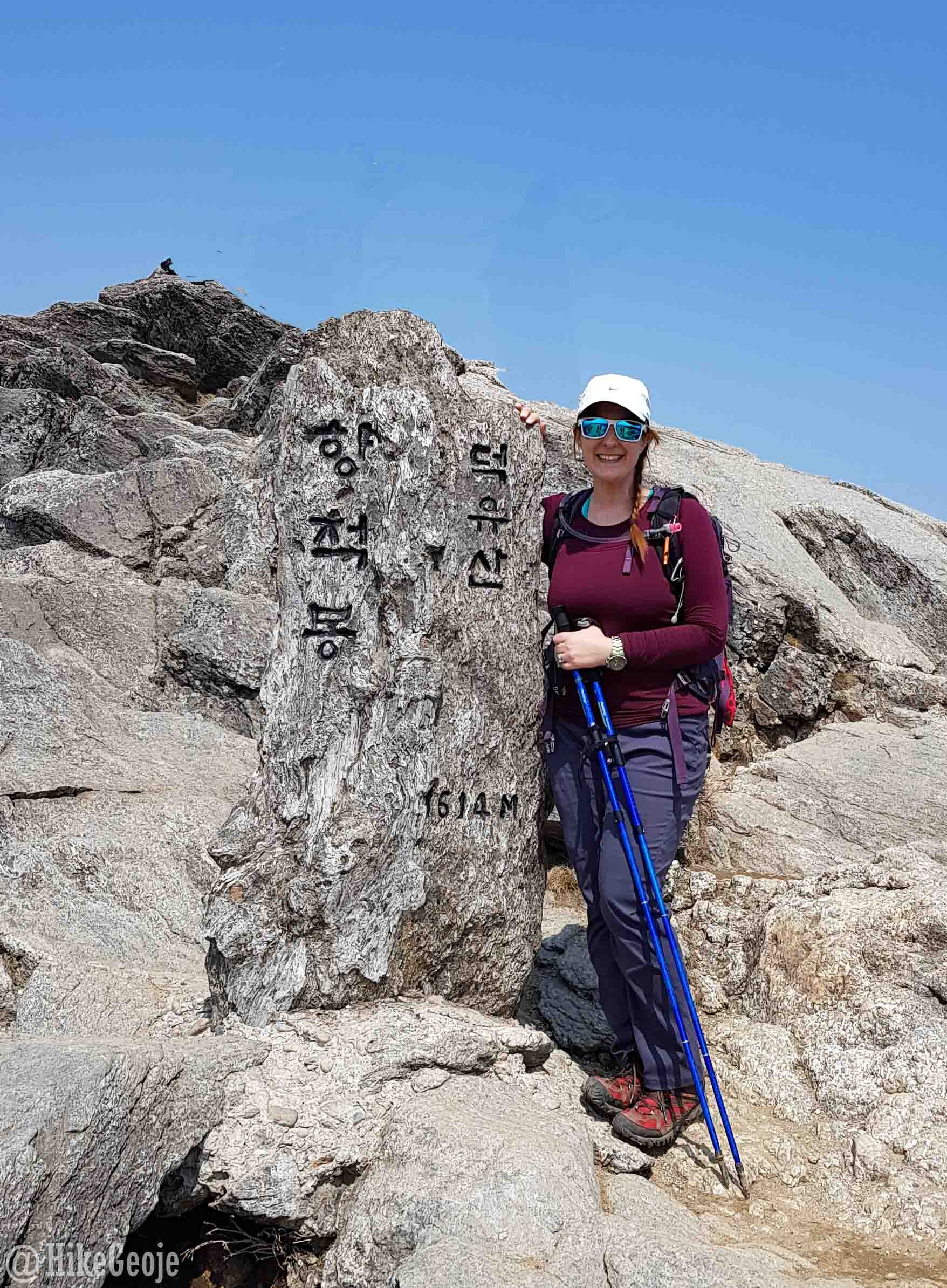
Made it!
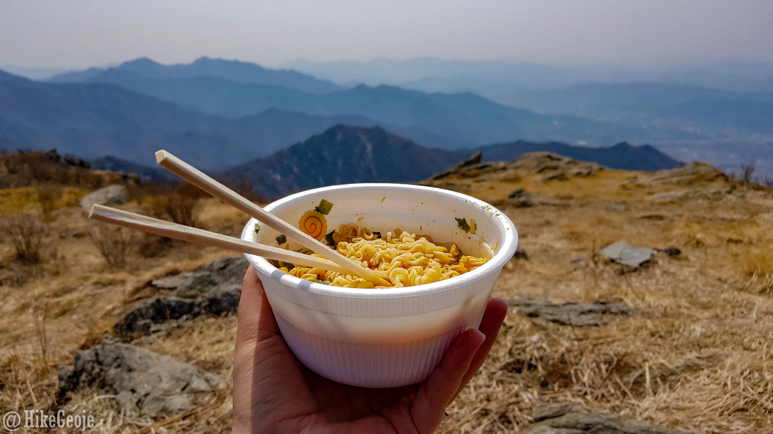
Lunch with a view!
Looking down on the cable car exit.
The mountain silhouette views were spectacular, but I can’t imagine how beautiful they would have been in summer, or even in the winter snow. It was still a beautiful view though and worth the effort.

Making your way back off the mountain, you’ll likely be thrilled to reach the temple, like I was. From here on out, I cruised along the path to the start waiting to get picked up at the trailhead so I could enjoy dinner, a couple of cold beers, and a board game with Andrew at our pension.

My own private chef!

Post hike feast!
We stayed nearby in the “pink” unit at Deogyusan Story Pension. This was a good pension for us because it had tables big enough for our board games, and the price was right. I would probably stay here again if we were to return.

Cheers to a good hike and weekend trip!
P.S. During another trip to Muju area and Deogyusan National Park we stayed in a treehouse pension at Ondo Resort. I really loved the treehouse, but Andrew isn’t a fan of floor sleeping so we only stayed there the one time. If you set off to do this hike and you are looking for a neat place to stay, I’d also recommend the treehouse!

The treehouse pension.

…and inside.