
Guksabong 국사봉
464 meters
approximately 5.6km return
📍trailhead
Probably one of the better known mountains in Geoje among the expat community, due to its ease of access and great views.
Other common trailheads will be mentioned in the alternative routes below, but this post will focus on my usual route from “Aju proper”. I really enjoy this route because there are a few flat-ish areas along the way that really break up the climb.
The trailhead starts behind Hanulchae Apartments behind a church. I usually arrive on foot or by bike and take the long set of stairs behind the apartments as my pre-hike warm up.

Get your heart pumping with these stairs first!
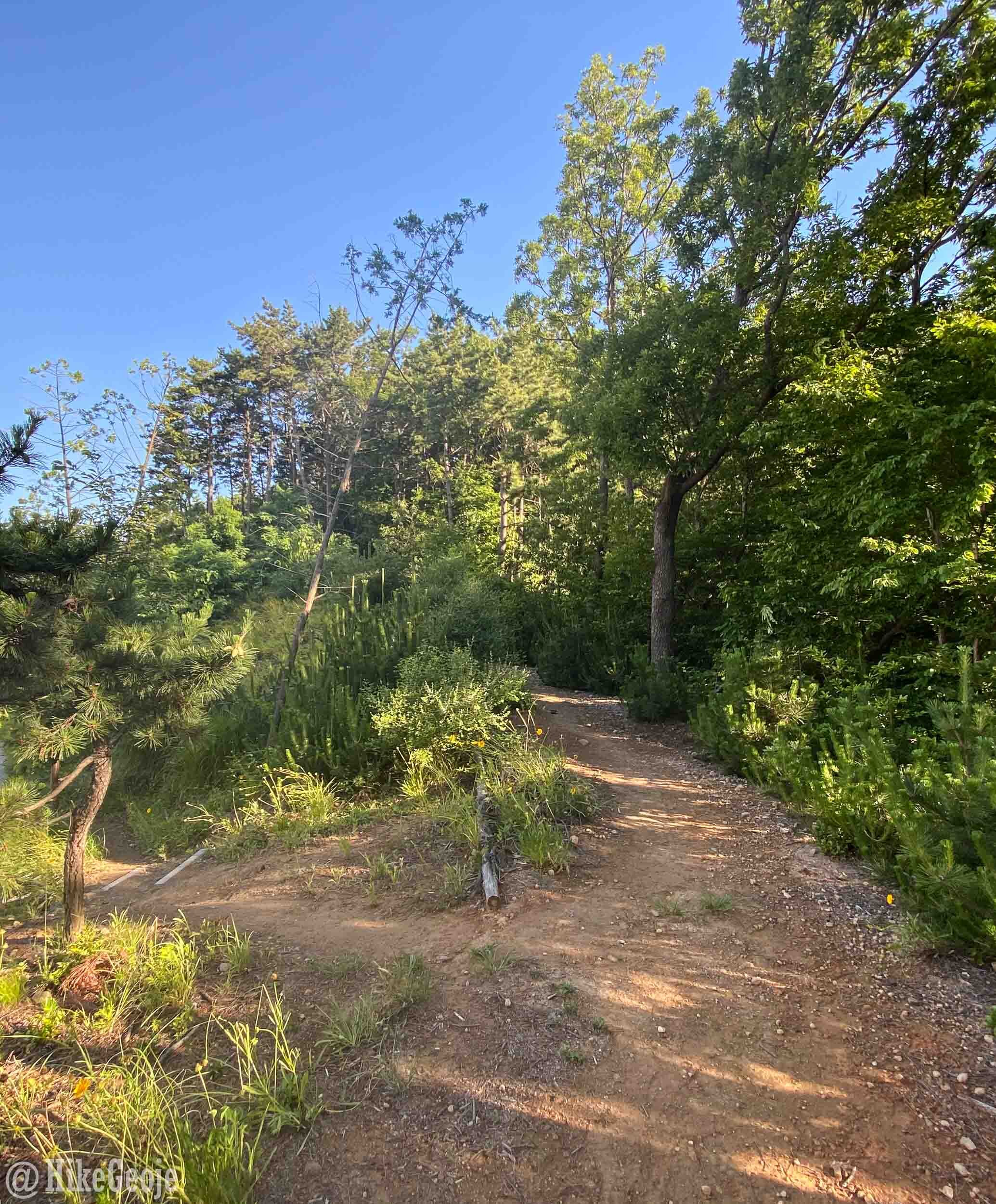
Enter the trail straight into the woods here.
Entering the woods behind the church, almost immediately you’ll come to a fork in the trail. The trail to the left is a switchback trail to make the climb slightly less steep (although it’s still quite steep). The trail to the right goes straight up. They’ll cross over each other several times on your way up this short section of trail. After roughly 0.2km you'll emerge at a gazebo perched well above the highway tunnel.

Enjoy the view here before continuing to follow the path for a short distance through the woods, soon coming out onto a dirt utility road. Turn left and follow the road until you reach a big grassy field with some exercise equipment, you’ll already have come about 1 kilometer from the start.

Cross to the back of the field.

Enter the trail at the back in the middle.
The trail will start to climb again. You’ll encounter one off-shoot trail (next to position marker 5-1) on this next section of the hike. Continue on the main trail that veers to the right.
Go right here.
The next trail junction is a small clearing where a few other trails meetup. There is some exercise equipment and you’ll notice a large fire safety banner that’s displayed year-round. If your sense of direction isn’t the best, you can take note that on the way back you will return next to the banner. Follow the trail to the left up the hill.

Go left up the hill.
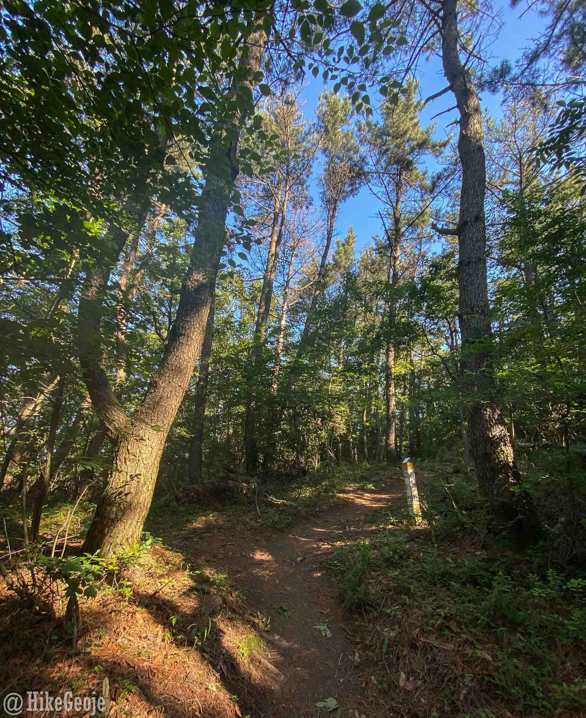
This next section of trail has several forks along the way and can be a bit confusing. At the first junction, stay to the right.

Stay to the right.
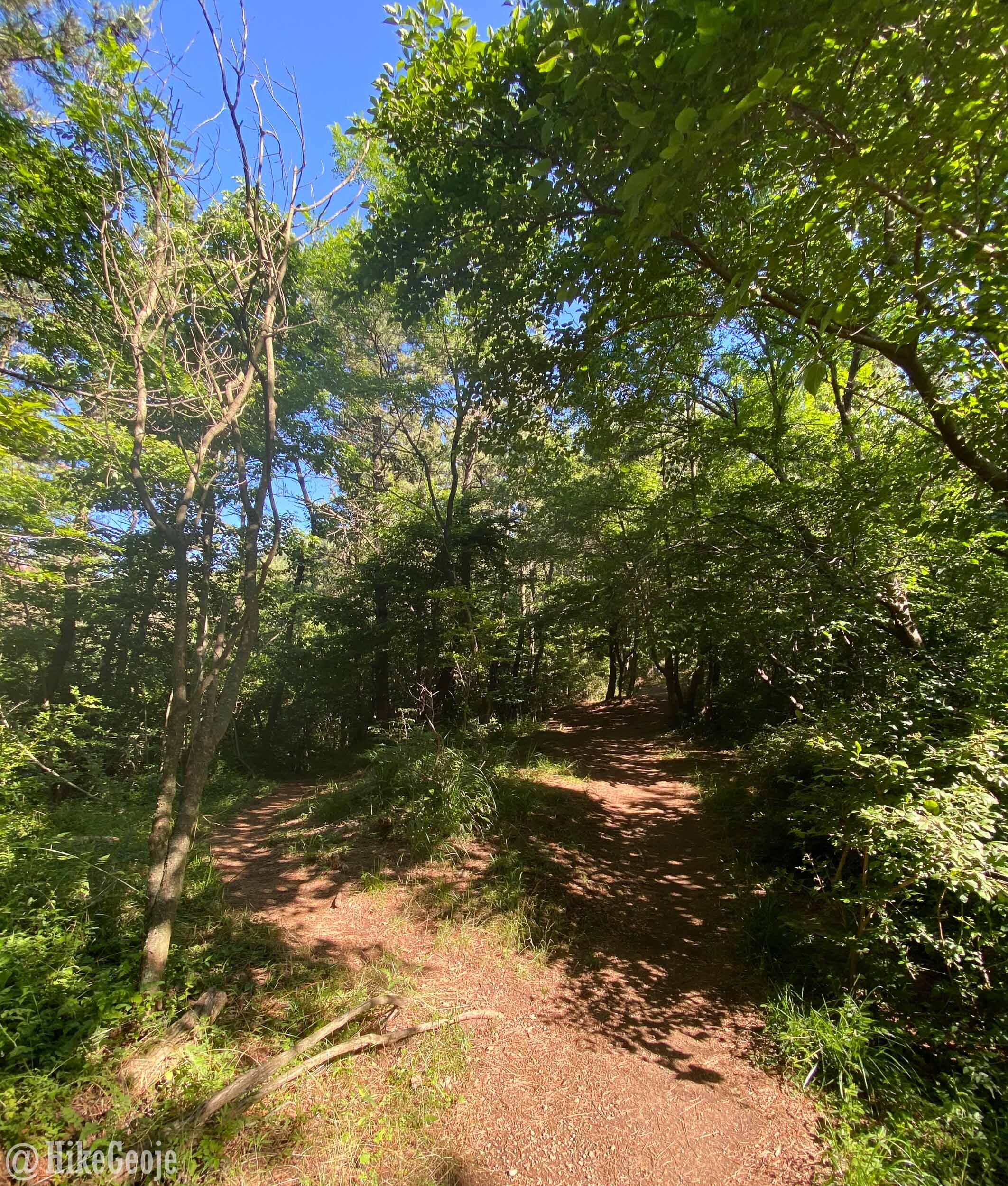
Soon after, you’ll arrive at another set of three forks in the trail grouped VERY close together.
FIRST fork: Go right.
SECOND “mini” fork: Go right.
THIRD fork: Go left.
The first of the “three fork grouping”. Go right.
Less than a minute later you’ll reach the final “fork” along the way. To go straight to the peak, go left up the hill. You’ll emerge at an open field and continue straight for the final climb.

Go left here.

Continue straight.
Only one more section of trail until you reach the peak. This section will be a bit steep and rocky in places but it’s only 0.4km to go! Near the peak there is a small offshoot on the right that has a nice view of Okpo.

Looking down on Okpo.
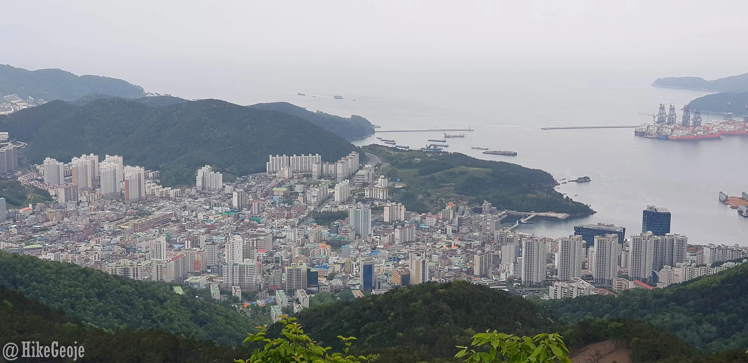
View of Okpo from the offshoot mentioned above.
Next up is a large wooden gazebo. The peak is just beyond this and on the left, but be sure to explore to the left of the gazebo first because there is a rocky outcrop with some great views there as well.

Next up is the peak. You’ll have to scramble over a couple of large rocks to get to the summit stone.


The peak area from above in winter.
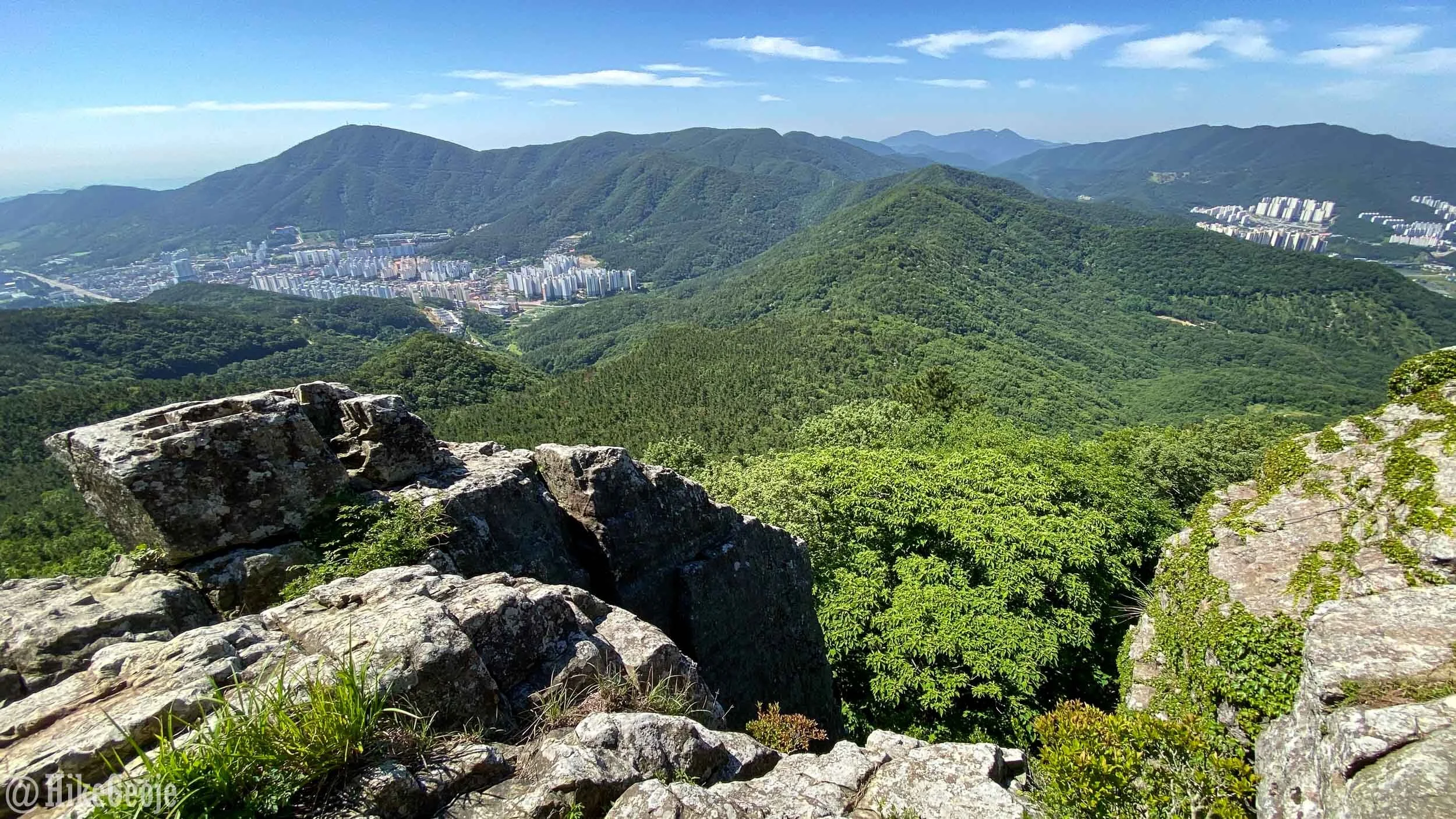
My favorite part of this hike is actually a rocky outcrop just a bit farther than the peak. If you continue on the trail for another few meters you’ll see rocky stairs with ropes descending both right and left. Head towards the stairs on the right, but before going down them you will see a little trail that leads to another great rocky outcrop. This is where the cover photo was taken. It’s got a nice tree overhead and is a perfect spot for a picnic.


From here, you can simply retrace your steps back to Aju, or take an alternative route down. But if you have the time, I suggest continuing onto Little Guksabong. Take the rocky stairs that were on the right hand side and continue a further 0.7km before reaching Little Guksabong. As you approach the peak you’ll have a set of stairs to climb and then have a great view looking back towards Guksabong.

Stairs leading to Little Guksabong.

The Little Guksabong summit marker for 387 meters is written on the wooden pole.

Looking back at Guksabong.
The views here are quite nice and look down towards Sangdong, Suwol, and Gohyeon. This area has some grass and I think would be an amazing camping spot.


