
Jirisan national park 지리산 국립공원
Cheonwangbong 천왕봉 1915 meters
approximately 15km loop
📍trailhead
In August of 2019 my hiking buddy, Calvin, and I set off to climb Cheonwangbong, the highest peak on mainland South Korea. Hiking in Jirisan has been at the top of “my list” for the longest time (save Piagol Valley), but I just never got around to this one until now. This was the hardest hike that I’ve completed to date. I usually never get muscle soreness after hiking these days, but my calves hurt for 4 days straight afterwards. The heat and humidity also made it an extra tough hike, but I’m so glad to have completed it.
As a funny little tidbit, my students (unrelatedley) told me that the Korean word for geography is “jiri”, so I often amuse myself by referring to Jirisan as “Geography Mountain” with my students. I’ll never forget the word for "geography” at this point, nor will they, and maybe now you won’t either. ^^
We started off at the trailhead at Jungsanri, opting to take the shortest, but steepest route to the top. Although we arrived a little before 8am, the main parking lot had already been filled and we had to park 800 meters down the road, adding to our hike. That parking area also filled up quickly, so the uphill walk to the start can potentially get much longer.
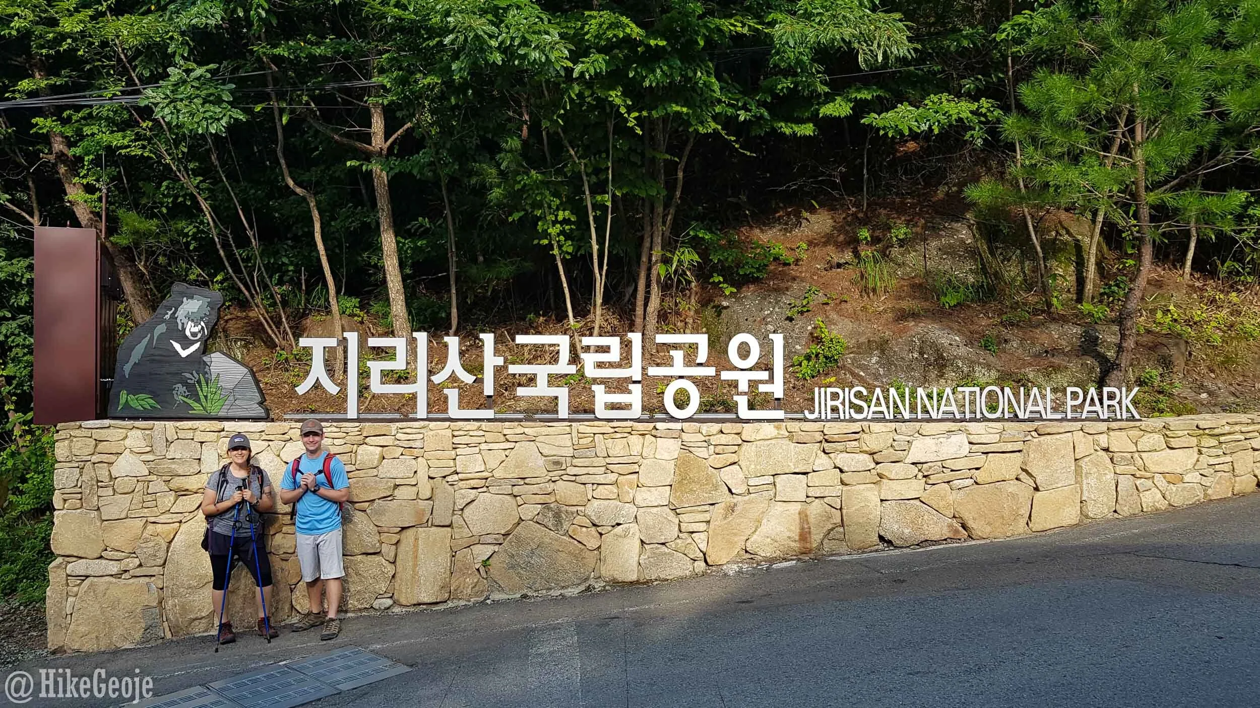
Near the trailhead and ready to tackle Cheonwangbong!
I’m all about doing a loop if that’s an option rather than covering the same ground twice, so we chose to follow the Cheonwangbong course up and take the Jangteomok course down. The distance seemed to add up differently everywhere I looked (naver and kakao maps added up differently than the trail posts signs, or online info). In the end, we used Calvin’s garmin and found that the entire route took 15.18 kilometers (from the trailhead) and we finished in just under 8 hours, although we hustled a lot on the way down trying to finish under the 8 hour mark. This didn’t include snack times or some time at the summit, so be sure to set out early enough if you don’t want to be hiking into the dark.
Sidenote: On the map below, you’ll see a green trail connecting to an orange trail to the right of the “You Are Here” on the map. There is potential to take a bus from the National Park office that will travel 3 kilometers along the green portion, covering a chunk of the elevation. From the bus drop off, it’s a 2.8 kilometer hike over to the shelter, before making the final 2 kilometer climb to the peak. This would still be a challenging climb, but if you’re worried about its difficulty, it may be a good alternative to reach the peak. Furthermore, there are plenty of people who also choose to walk the roadway up through this route rather than taking the bus as well. You will see the mini buses parked across from the parking lot for the main entrance.

About 1.3 kilometers from the trailhead and park office, you’ll reach Kalbawi Rock. From here you can turn right to take the steeper Cheonwangbong course, or left to the still steep, but longer, Jangteomok Course.

Calvin ready for more at the Kalbawi Rock junction.
The trail terrain for this hike is my least favorite type: rocky. I have bad knees and I find the constant balance adjustment extra hard on them. However there are plenty of stairs along the way, too. Naver maps actually shows “street view” for the trails on these routes, so if it’s a concern you can preview more there.
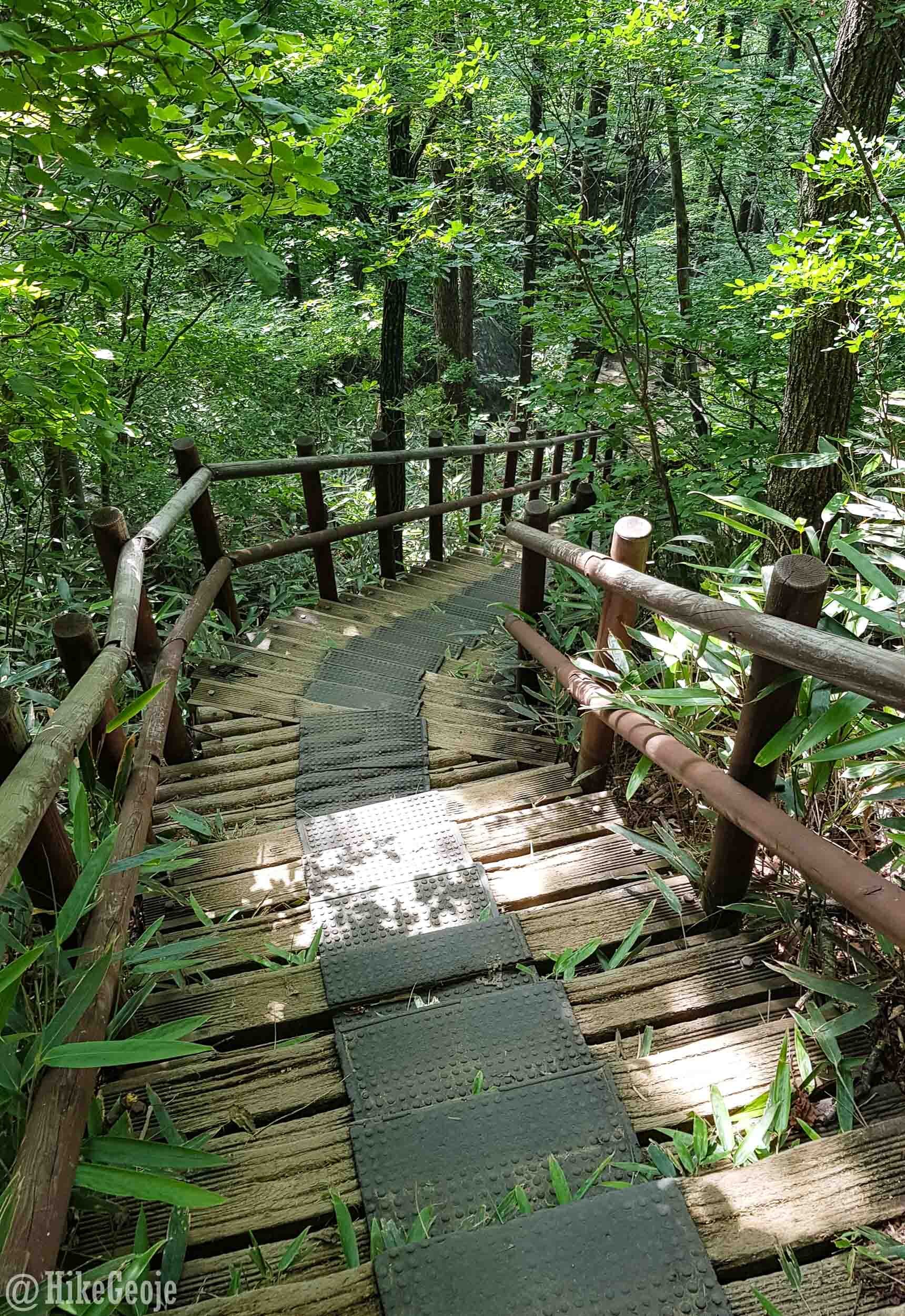
Stairs, stairs…

…and more stairs.
After a lot of uphill climbing, you’ll come to a clearing where you can see the rocks above where Beopgyesa Temple and Rotary Shelter lie. A little over 2 kilometers from Kalbawi Rock, you’ll finally reach the shelter with the temple a few more steps beyond it.
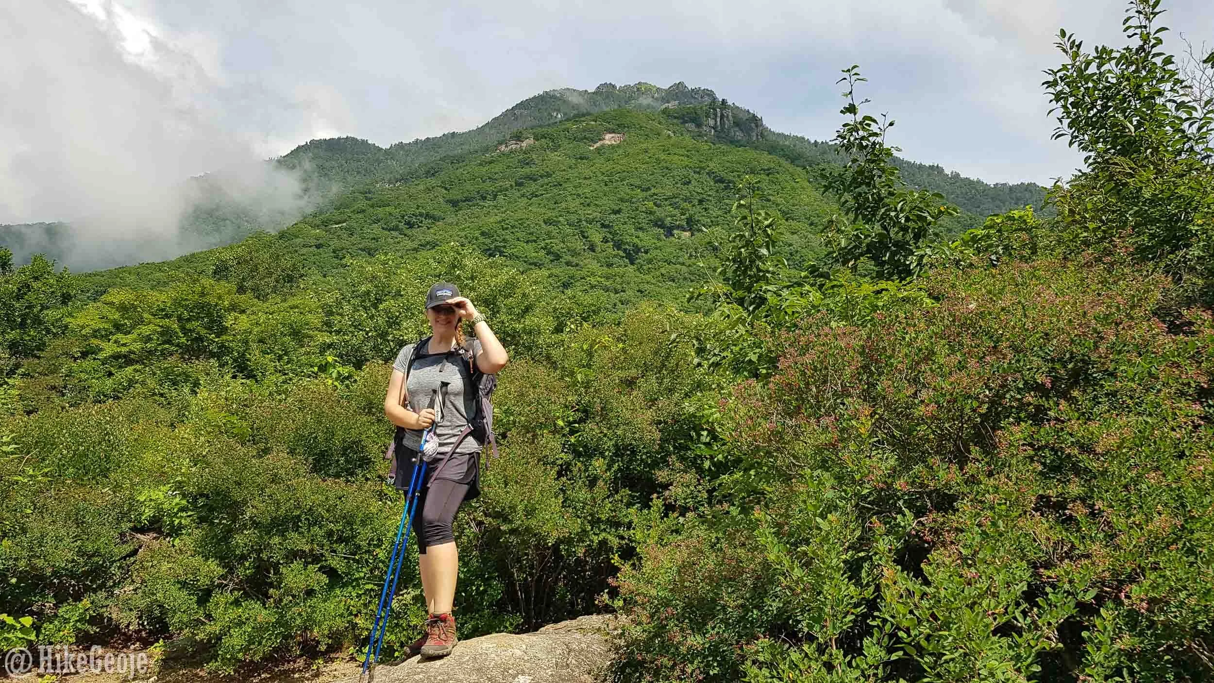
Still smiling.

The Rotary Shelter.
Beopgyesa Temple is at the highest elevation of any temple in South Korea, making it an added bonus on this hike!

The entrance to Beopgyesa Temple.


Moving on from the temple, you will have the steepest climb yet. It’s about 2 kilometers to the peak, but you’ve come a long way already. If you haven’t already noticed, the location markers along the trail also list the elevation, so you can gauge how much more you have to climb.


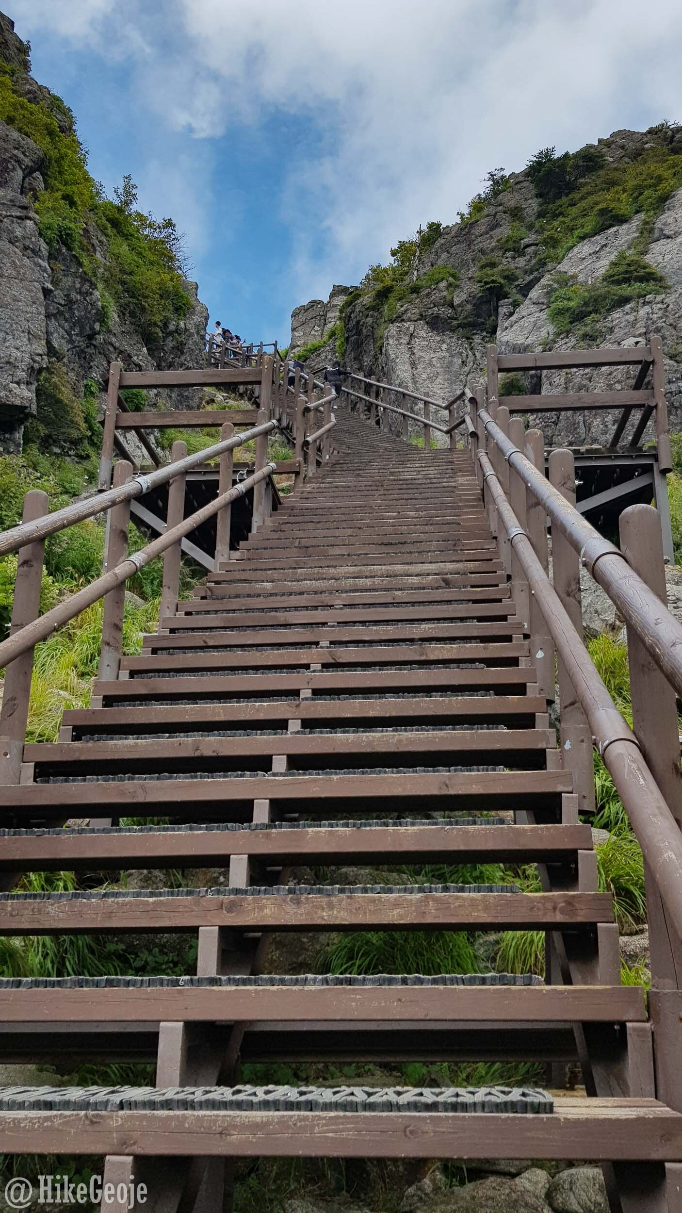
The summit will eventually come into view and this will give you the added push to work your way up the final steep stair climb. Unfortunately for us, by the time we arrived at the summit stone, the blue skies disappeared putting us in clouds instead. It was still a great feeling to have reached the top though and we patiently waited for our pictures with the summit stone.


After having a sandwich and a bit of a rest at the top, we began our journey back by heading down the Jangteomok course. This course is still surprisingly steep, but slightly better on the knees than going back the same way I imagine.


Once you reach the Jangteomok shelter, you’ll have the opportunity to refill your water if you’ve run out or simply wet your hat/scarf to try and keep cool. Moving on from here, the next big highlight in the trail is Yuam Falls.


Yuam Falls was such a nice surprise and a great spot to dip your feet or take a swim like Calvin did!

When you finally reach the end you can congratulate yourself with some food and a drink for having climbed the tallest mountain on the mainland, in addition to being a very tough hike!

It was a tough climb, but thanks so much for joining me, Calvin! So glad we made it in under 8 hours even if just barely!
