Baegamsan 백암산
495 meters
Approximately 5km thru-hike
📍trailhead
While driving over a mountain in western Geoje, I spotted some hikers entering the woods at a strange looking trailhead. After doing a bit of research, I found that this mountain’s name was Baegamsan. I’m unsure of the distance to cross the mountain, as there were no trailhead posts, but I would guess about 5km.
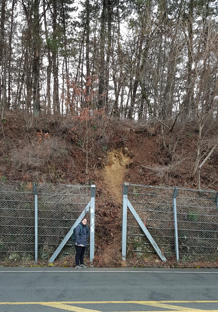
The sketchy looking trailhead.
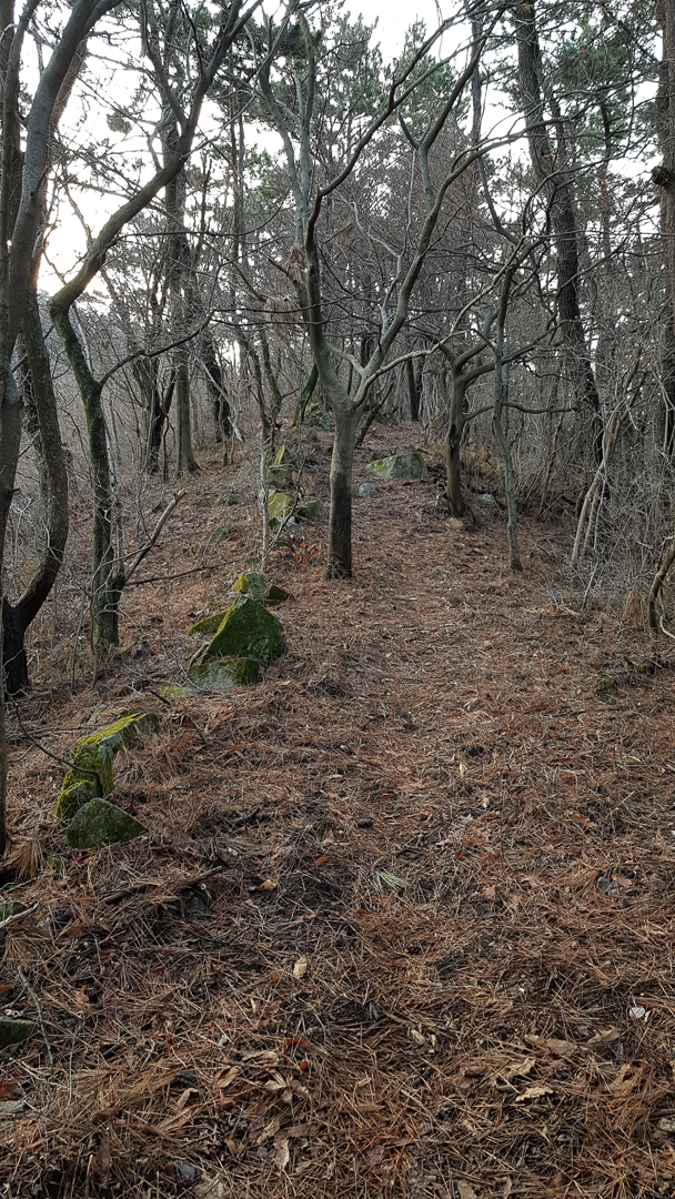
Part of the old stone wall that you’ll be walking over.
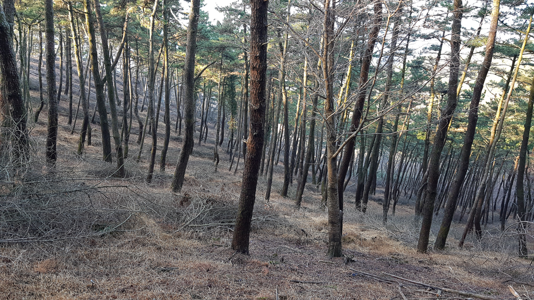
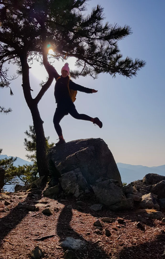
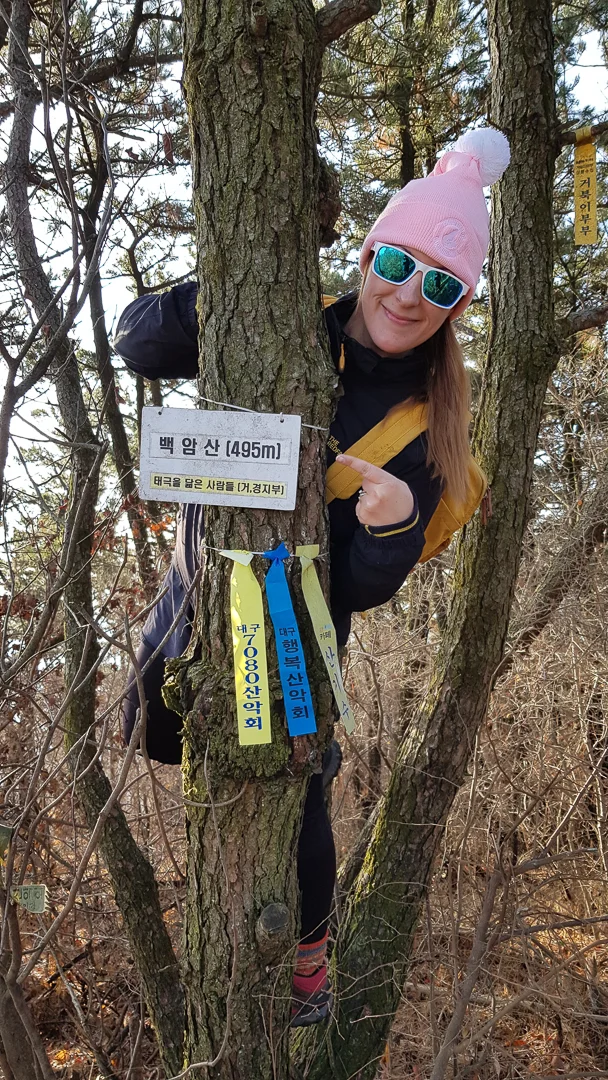
I was a bit let down with the first half of the trail due to a lack of unobstructed lookouts, but after some time you will come to a beautiful rocky area with a great view of western Geoje. There is a summit marker sign on a tree near here as well.
Keep hiking and eventually you will come to a fork in the path. Most of the trail marker ribbons are on the right, whereas the more obvious way to go is to follow the stone stairs to the left. Of course, I took the path to the right. Both trails will end about 1.3km apart in Sadok-ri near the animal shelter.