(Yeongnam Alps 9 Peaks 영남알프스 9 봉)
Gajisan 가지산 1241 meters
UNMUNsan 운문산 1188 meters
12.6km Thru-Hike
📍trailhead
I settled on Gajisan and Unmunsan for my final two mountains of the Yeongnam Alps 9 Peaks Challenge. I was told that most people hike these mountains separately, but it was possible to hike them both in one go, but it would make for a difficult hike. Since I was having to travel and stay in a hotel for each hike I opted to tackle the two of them at once to save myself a trip. It definitely wasn’t easy, but not the hardest hike I’ve done either.
I’ll start with my garmin stats for some basic information:
The trailhead started next to Seoknam Tunnel (석남터널) and as a bonus, the starting elevation was already nearly 700 meters high. However, because this trail makes for an easier climb to Gajisan, if you’re coming by car, I’d suggest getting there a bit early to find some roadway parking. I was lucky to find a spot on the road with tons of other cars. Although the hike views were beautiful, some of the best views were from the roadside since there were still some color left on the leaves.
This was taken standing next to my car.
The trailhead is on the right side, next to the tunnel entrance.
The trail entrance started to the right of the tunnel and I quickly began climbing up some stairs.
Enter the trail here.
It’s only 3km to the peak, and some of it is ridgleline hiking, so although there was still some climbing to do, getting to Gajisan itself was not too challenging of a hike. In less than 15 minutes, I reached a junction on a ridgeline. The signage was clearly marked, so I turned right to head to Gajisan.
Turn right here.
In another five minutes, I reached another junction, but continued straight towards Gajisan.
Go straight here.
I passed by a small mountain shack that I assumed sold beer and whatnot, but unfortunately had to pass on by. My hike was just beginning and I had a big day ahead if I was going to knock off both Gajisan AND Unmunsan from my list, which would complete all 9 peaks for the Yeongnam Alps.
The next point of interest along the way, was a small summit stone for Jungbong (중봉). I probably would have missed it, had a not noticed a few other hikers stepping off the trail to snap a pic.
From here, there was a nice view of the ridgeline that I would be hiking in a little while as I made my way towards Unmunsan.
ridge to Unmunsan pics
After reaching the peak of Gajisan, I’d soon be hiking the ridgeline on the right.
Back on the trail, I continued to climb towards the peak, but I couldn’t help but stop along the way to enjoy the views and snap a few more pics.
views almost at peak)
As the summit stone came into view, I was surprised to see a helicopter that circled back twice not too high above the peak. I was worried thinking that someone was getting rescued, but that wasn’t the case. They continued on, perhaps just enjoying the same views as I was.
There were two different summit stones at the top: A big one written in Korean, which is to be used for the official photo when completing the Yeongnam Alps 9 Peak Challenge, as well as a smaller one, which stood 1 meter lower, and was written in Chinese.
Next stop was the Gajisan shack for some hot ramyeon and a cold beer for lunch.
It was nice to chat with some fellow solo hikers inside and enjoy our lunch together. When discussing our days hiking plans, I had mentioned that I was going towards Unmunsan next. The man I was chatting with, suggested that I save it for the next day because it was a hard hike, but I insisted that I was doing it today, so he kindly gave me some advice on a better route down that wouldn’t be quite as treacherous.
After “refueling” I was off to Unmunsan. The sign said it was 5.6km to the next peak and would take about 2 hours and 20 minutes. (I found this time to be quite accurate for my hiking pace.)
Go straight past the helicopter landing pad.
I was feeling determined because I really wanted to finish the Yeongnam Alps Challenge on this day, but I gotta admit, I was a bit worried about how the man tried to convince me not to do it. Furthermore, I encountered only a few people on this next stretch of trail and they all asked me where I was going. I was nervous that I made a wrong turn, but luckily I was on the correct trail.
There really isn’t much to say for the stretch of trail between the two mountains, except for the nice view of Cheonhwangsan across the valley.
The larger mountain across the valley is Cheonhwangsan.
I made my way down a very steep trail to a valley and finally reached the “bottom”: a junction with a small shed for workers. The elevation map from my garmin gives a good idea of how much you have to climb down before climbing back up again.
Elevation in meters is on the left hand side.
From here, it was a 1.5km climb to the final peak! This section of trail was much busier, full of people who took a shorter, more direct route to Unmunsan. I was feeling quite tired by this point and not really enjoying the steep trail and stairs, but with so little distance to go, I kept pushing so I could finish on this day.
I had completed all of these hikes solo, and as I was approaching my final peak, I kind of realized I would be “celebrating” alone. As luck would have it though, there was a group of about 30 university students up there at the time. I asked one of the young guys to take my photo for the app certification. After he took the photo, a thing popped up on the app saying something along the lines of “Congratulations for Completing the Yeongnam Alps 9 Peak Challenge”, which he then announced to everyone who then erupted in cheers. I gotta admit, although I was a bit embarrassed by the attention, it still felt really good and I was thankful for the reaction from them.
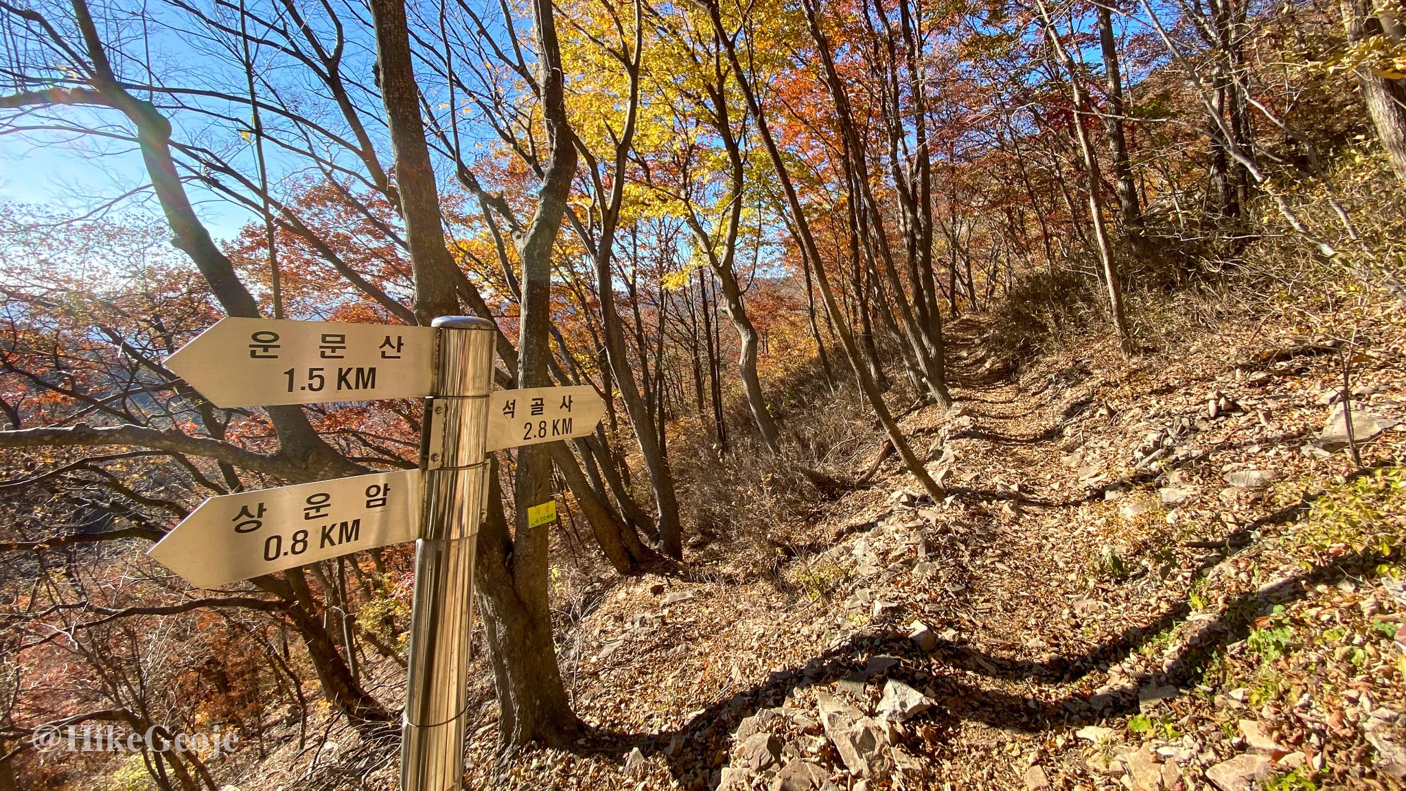
After getting my final peak completed I was eager to get off the mountain and get some grub, so I continued past the summit stone heading towards Seokgolsa (temple) (석골사) another 4.5km away.
I passed a small hermitage on my way down, which I bypassed but despite my rush to finish, I tried my best to enjoy the last of the pretty fall leaves on along the trail.
My Garmin was running very low and I was worried about it dying before the end, so I was so thrilled when the temple came into view. A long taxi ride back to the car and I was off for my final night staying in the area
I’m so glad to have completed the Yeongnam Alps 9 Peak Challenge this year. It had been on my bucket list for a few years, but for whatever reason, I always chose other mountains to hike, never completing this in full. I’d really recommend this challenge. It’s a great way to explore the area, and of course it’s nice to work towards a goal.


